
Camping near hiking trails in Utah
648 camps in Utah within a mile of a hiking trail, or listing hiking. The best camping months are Jun–Sep, judged from 30 years of weather at a typical camp: comfortable days, mild nights, little rain. In July expect highs near 79°F and lows near 52°F.
Trails with the most camps nearby
| Trail | Length | Camps nearby | Closest camp |
|---|---|---|---|
| Lakeshore | 17.7 mi | 12 | Group Site A · 0.1 mi |
| Lowline Historic | 6.6 mi | 11 | Deer Run Campground · 0.3 mi |
| Canal Trail | 6.2 mi | 11 | Mitt Moody Campground · 0.1 mi |
| Santa Clara River Trail | 2.0 mi | 11 | Mitt Moody Campground · 0.1 mi |
| Perception Park Nature | 0.4 mi | 11 | Group McKa · 0.0 mi |
| Great Western Trail | 63.5 mi | 10 | Old Lady Young Group Campsite · 0.2 mi |
| Perception Park Nature Spur B | 0.1 mi | 10 | Perception Park Family Campground · 0.1 mi |
| Perception Park Nature Spur C | 0.1 mi | 10 | Group McKa · 0.0 mi |
| Perception Park Nature Spur A | 0.0 mi | 10 | Perception Park Family Campground · 0.1 mi |
| Perception Park Nature Spur D | 0.0 mi | 10 | Group McKa · 0.1 mi |
Best areas for hiking
- Around Provo105 camps for hiking within 25 miles
- Around Oakley72 camps for hiking within 25 miles
- Around Benson61 camps for hiking within 25 miles
- Around Nephi58 camps for hiking within 25 miles
- Around St. George57 camps for hiking within 25 miles
Questions
How many campgrounds in Utah are good for hiking?
648 camps within a mile of a hiking trail, or listing hiking; 104 of them are free.
When is the best time to go?
The best camping months are Jun–Sep, judged from 30 years of weather at a typical camp: comfortable days, mild nights, little rain. In July expect highs near 79°F and lows near 52°F.
What else can you do there?
Of these camps, 31% also offer fishing, 29% also offer biking, 27% also offer wildlife & birding.
Every camp, with a 3D fly-over, weather, cell signal and the drive.
Open hiking in UtahThis week's picks
A different handful each week.
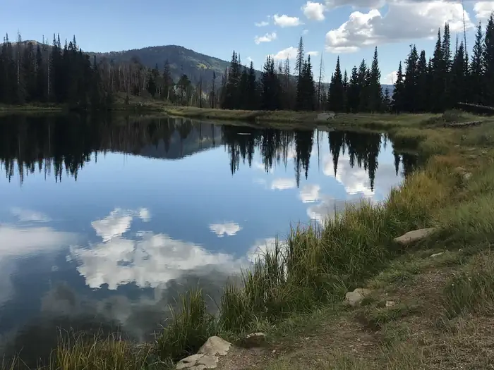 Potters PondFederal campground · Reservable · No cell signal · Hiking trail 1.6 mi
Potters Pond Campground is located in a high mountain valley next to two scenic ponds, at an elevation of 8,900 feet. Visitors enjoy fishing, canoeing, horseback riding and exploring the…
View camp →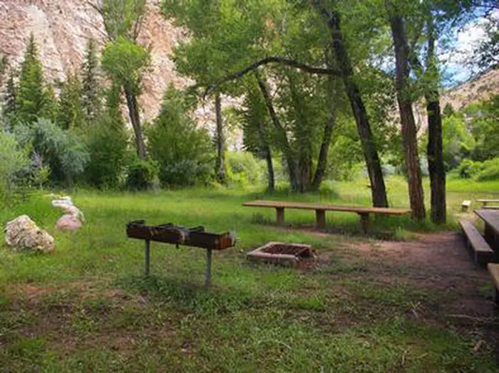 Navajo CliffsFederal campground · Reservable · Cell signal · Hiking trail 0.2 mi
Navajo Cliffs is an ideal group day-use site for weddings, reunions and large gatherings. It's just 7 miles south of Manila, Utah, along the scenic Sheep Creek Geological Loop at an…
View camp →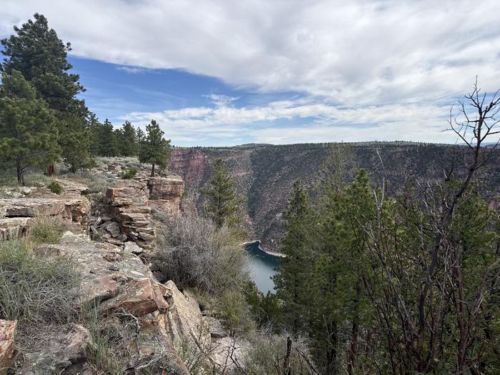 Red Canyon (Ashley National Forest)Federal campground · Reservable · Cell signal · Hiking trail at camp
Red Canyon Campground is located in a grassy meadow high above Flaming Gorge Reservoir in northeastern Utah along Red Canyon Road at an elevation of 7,400 feet. Visitors enjoy exploring the…
View camp →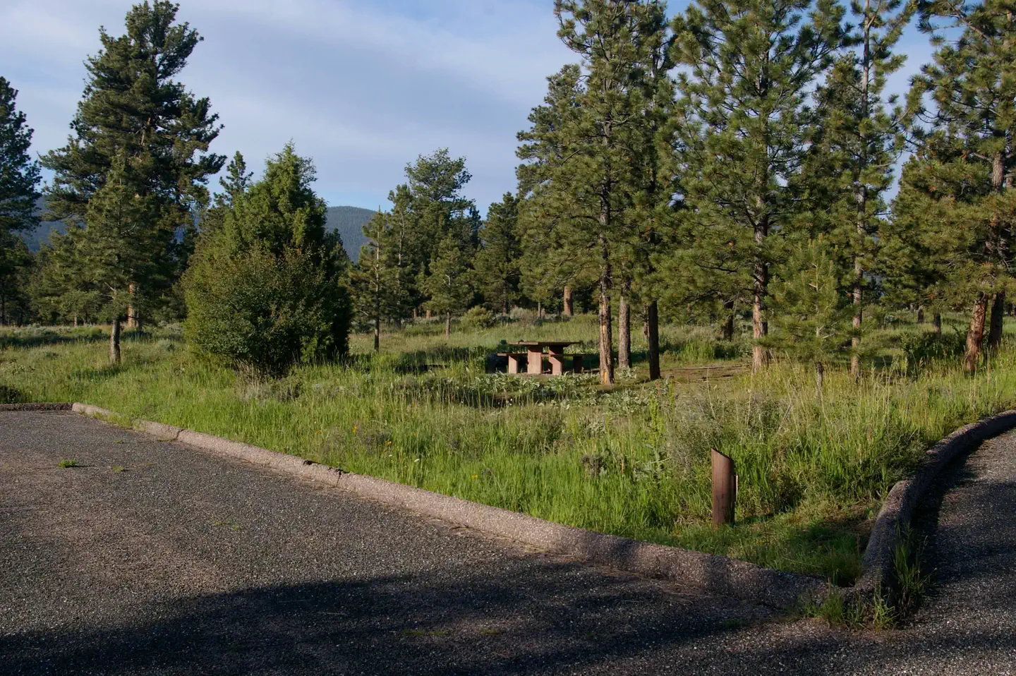 Canyon RimFederal campground · Reservable · Cell signal · Hiking trail 0.2 mi
Canyon Rim Campground is located in a grassy meadow high above Flaming Gorge Reservoir, along Red Canyon Road at an elevation of 7,400 feet. Visitors enjoy exploring the Red Canyon Rim…
View camp → SingletreeFederal campground · Reservable · Cell signal
Singletree Campground is located on the east side of Boulder Mountain in central Utah. Visitors enjoy hiking and sightseeing in this beautiful area.
View camp → Willow LakeFederal campground · Reservable · Cell signal · Hiking trail 0.6 mi
WIllow Lake Campground is located on the east shore of Willow Lake, at an elevation of 9,640 feet. The small lake sits in an alpine basin high on the Wasatch Plateau. Spruce, fir and aspen…
View camp →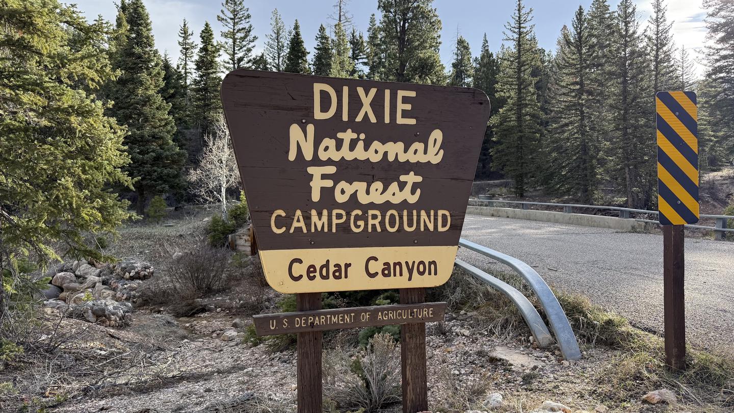 Cedar CanyonFederal campground · Reservable · Cell signal
Cedar Canyon Campground is located conveniently close to Cedar City, Utah, only 11 miles east. Visitors can enjoy hiking, biking and day-tripping to nearby Cedar Breaks National Monument.
View camp → Canyonlands National Park Needles District CampgroundFederal campground · Reservable · No cell signal
The Needles is a remote district located within the southern portion of Canyonlands National Park in southeastern Utah. The Needles District is 1.25 hours driving time from Monticello…
View camp →
Free camps for hiking
- Bride Canyon Designated Dispersed Camping AreaDispersed / primitive · Free · Cell signal · Hiking trail 0.4 miView camp →
- Temple Moutain Campground WestFederal campground · Free · No cell signal
"The Temple Mountain west Campground is located at the intersection of Temple Mountain and Behind the Reef road. This campground has multiple parking areas for large recreational vehicles…
View camp → - Cold Springs CUA Dispersed CampingDispersed / primitive · Free · Cell signal
Cold Springs dispersed camp sites are located at an elevation of over 9,000 feet and are shaded by aspen trees. Facilities include a vault restroom, information kiosk, with graveled roads…
View camp →