
Camping near hiking trails in Nevada
72 camps in Nevada within a mile of a hiking trail, or listing hiking. The best camping months are Jun–Sep, judged from 30 years of weather at a typical camp: comfortable days, mild nights, little rain. In July expect highs near 82°F and lows near 53°F.
Trails with the most camps nearby
| Trail | Length | Camps nearby | Closest camp |
|---|---|---|---|
| Escarpment | 2.3 mi | 3 | Spring Mountains Visitor Gateway Group Picnic Sites · 0.2 mi |
| Cahill Canyon Run | 9.0 mi | 2 | Bob Scott Campground · 0.8 mi |
| Pony Express Loop | 6.9 mi | 2 | Austin Ranger District Office · 0.5 mi |
| Right Fork Lamoille | 5.9 mi | 2 | Dispersed spot · 5 mi SE of Lamoille · 0.5 mi |
| Bristlecone | 5.1 mi | 2 | Mcwilliams · 0.3 mi |
| Lamoille To Talbot | 4.1 mi | 2 | Dispersed spot · 5 mi SE of Lamoille · 0.2 mi |
| Cave Lake Loop | 4.0 mi | 2 | Lake View Campground · 0.4 mi |
| Lions Camp | 1.8 mi | 2 | Dispersed spot · 5 mi SE of Lamoille · 0.5 mi |
| Acastus | 1.7 mi | 2 | Kyle Canyon Picnic Area Day Use · 0.0 mi |
| Fletcher Canyon | 1.6 mi | 2 | Fletcher View · 0.1 mi |
Best areas for hiking
- Around Ely13 camps for hiking within 25 miles
- Around Carson12 camps for hiking within 25 miles
- Around Las Vegas11 camps for hiking within 25 miles
- Around Kingston6 camps for hiking within 25 miles
- Around Jarbidge5 camps for hiking within 25 miles
Questions
How many campgrounds in Nevada are good for hiking?
72 camps within a mile of a hiking trail, or listing hiking; 21 of them are free.
When is the best time to go?
The best camping months are Jun–Sep, judged from 30 years of weather at a typical camp: comfortable days, mild nights, little rain. In July expect highs near 82°F and lows near 53°F.
What else can you do there?
Of these camps, 36% also offer biking, 28% also offer horseback riding, 24% also offer off-road (ohv).
Every camp, with a 3D fly-over, weather, cell signal and the drive.
Open hiking in NevadaThis week's picks
A different handful each week.
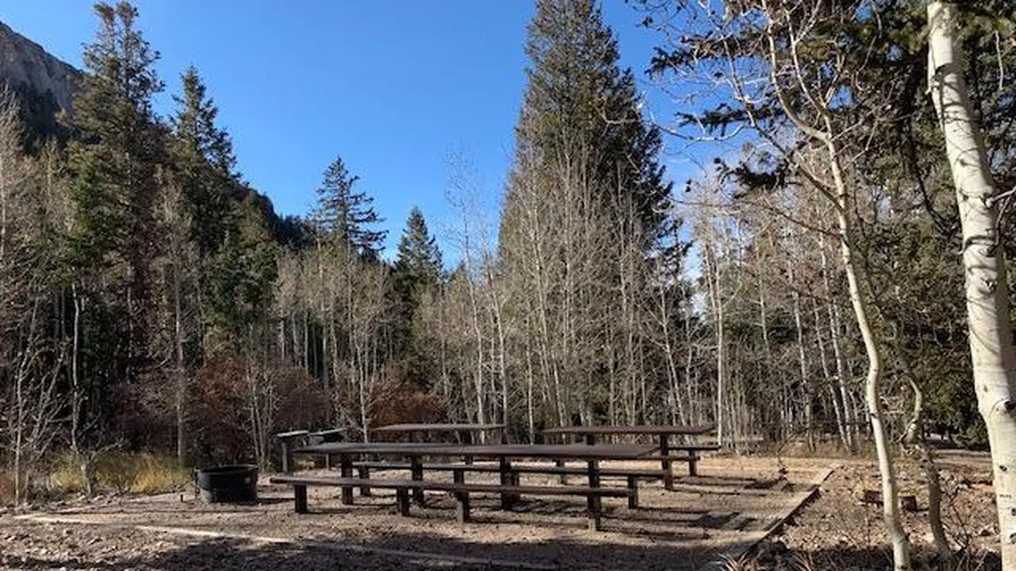 Timber Creek CampgroundFederal campground · Reservable · Cell signal · Hiking trail 0.6 mi
Timber Creek Campground is located in Duck Creek Basin, high on the Schell Creek Range, in eastern Nevada. It sits at an elevation of 8,500 feet, approximately 25 miles from the small city…
View camp →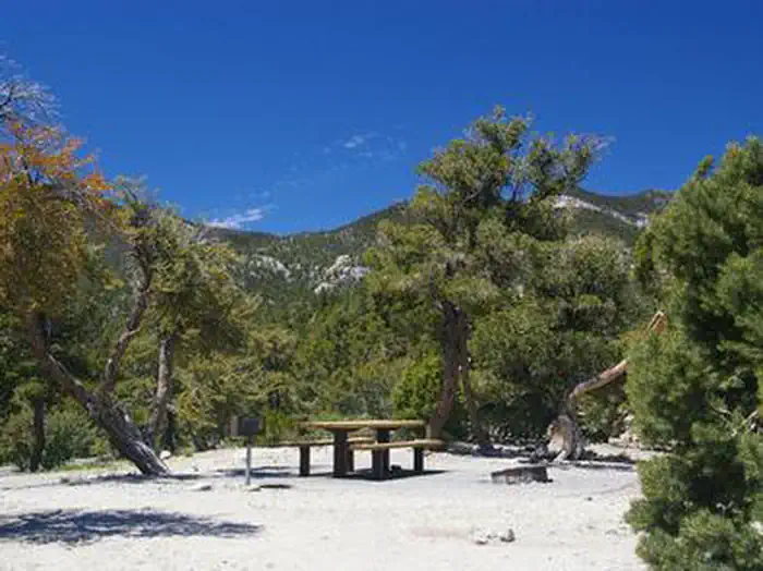 HilltopFederal campground · Reservable · Cell signal · Hiking trail 0.3 mi
Hilltop Campground is set in the beautiful Spring Mountains National Recreation Area, just 40 miles from downtown Las Vegas. Visitors enjoy hiking, horseback riding and scenic driving in…
View camp →- Galena Creek Visitor CenterFederal campground · First come, first served · Cell signal · Hiking trail 0.1 mi
The [Galena Creek Visitor Center](http://[email protected]) is managed by Washoe County Regional Parks & Open Space under a special use permit from the U.S. Forest…
View camp → - Desert Creek CampgroundFederal campground · Free · Cell signal
Desert Creek Campground is a remote camping experience in Nevada, located on Desert Creek. Partial shade provided in campground by Jeffrey and Lodgepole pines. Fishing in Desert Creek for…
View camp → - Lye Creek CampgroundFederal campground · First come, first served · No cell signal · Hiking trail 1.3 mi
Lye Creek Campground is located in the Santa Rosa Mountain Range about 60 miles north of Winnemucca, Nevada. The campground is nestled in a grove of aspen trees along Lye Creek. There are…
View camp → - Angel Lake CampgroundFederal campground · First come, first served · Cell signal · Hiking trail at camp
The campground is next to Angel Lake, and flanked by glacial cirques. Non motorized boating (canoeing) in Angel Lake, and fishing for rainbow, brook, and tiger trout. The Smith Lake…
View camp → - Slide Creek CampgroundFederal campground · Free · Cell signal
Slide Creek Campground is located at the trailhead for Slide Creek which accesses the Jarbidge Wilderness(hiking, horse trips, hunting, backpacking), has one single restroom, horse corrals…
View camp → - Santa Rosa Ranger District OfficeFederal campground · First come, first served · Cell signal
The Santa Rosa Ranger District makes up approximately 280,000 acres of the Humboldt-Toiyabe National Forest, 40 miles north of Winnemucca, Nevada. It can be reached by traveling north on…
View camp →
Free camps for hiking
- Dispersed spot · 15 mi NE of McGillDispersed / primitive · Free · No cell signal · Hiking trail 0.8 miView camp →
- Water Canyon Recreation AreaFederal campground · Free · Cell signal · Hiking trail 0.1 miView camp →