
Camping › California › Hiking
Camping near hiking trails in California
1,200 camps in California within a mile of a hiking trail, or listing hiking. The best camping months are May–Oct, judged from 30 years of weather at a typical camp: comfortable days, mild nights, little rain. In July expect highs near 83°F and lows near 53°F.
Trails with the most camps nearby
| Trail | Length | Camps nearby | Closest camp |
|---|---|---|---|
| Union Valley Bike Trail | 6.7 mi | 14 | Azalea Cove Campground · 0.0 mi |
| Pct Grassy Hollow | 4.4 mi | 11 | Jackson Flat Group Campground · 0.1 mi |
| Grouse Ridge Trail | 10.4 mi | 10 | Grouse Ridge Campground · 0.0 mi |
| Crooked Lakes Trail | 3.4 mi | 10 | Dispersed spot · 7 mi E of Graniteville · 0.0 mi |
| Ice House Bike Trail | 3.1 mi | 10 | Strawberry Point Campground · 0.0 mi |
| Goat Mountain | 2.6 mi | 10 | Forks Campground (Sierra) · 0.1 mi |
| Mud Lake | 1.6 mi | 10 | Dispersed spot · 4 mi SE of Bear Valley · 1.0 mi |
| Lindsey Lake | 4.5 mi | 9 | Campsite · 6 mi E of Graniteville · 0.1 mi |
| Potter Creek | 3.3 mi | 9 | College · 0.5 mi |
| Kirk Creek | 5.0 mi | 8 | Espinosa Camp · 0.0 mi |
Best areas for hiking
- Around South Lake Tahoe115 camps for hiking within 25 miles
- Around Mammoth Lakes108 camps for hiking within 25 miles
- Around Truckee104 camps for hiking within 25 miles
- Around Junction City93 camps for hiking within 25 miles
- Around Bear Valley78 camps for hiking within 25 miles
Questions
How many campgrounds in California are good for hiking?
1,200 camps within a mile of a hiking trail, or listing hiking; 260 of them are free.
When is the best time to go?
The best camping months are May–Oct, judged from 30 years of weather at a typical camp: comfortable days, mild nights, little rain. In July expect highs near 83°F and lows near 53°F.
What else can you do there?
Of these camps, 35% also offer fishing, 26% also offer boating & paddling, 25% also offer biking.
Every camp, with a 3D fly-over, weather, cell signal and the drive.
Open hiking in CaliforniaThis week's picks
A different handful each week.
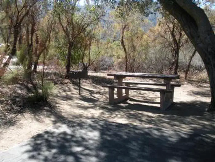 Oak Grove CampgroundFederal campground · Reservable · Cell signal · Hiking trail 0.1 mi
Located on the Cleveland National Forest, Oak Grove Campground is nestled in a valley of large oak groves and manzanita.
View camp → Medicine Lake Recreation AreaFederal campground · Reservable · No cell signal · Hiking trail 0.1 mi
The popular Medicine Lake Recreation Area and adjacent Medicine Lake are located in the Medicine Lake Highlands in northeastern California. The Recreation Area is located in the Modoc…
View camp →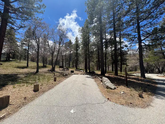 Mountain OakFederal campground · Reservable · Cell signal · Hiking trail 0.1 mi
Escape to Mountain Oak Campground in the Angeles National Forest for a restful, refreshing getaway from city life. Just northwest of the Los Angeles metro area, Mountain Oak provides a…
View camp →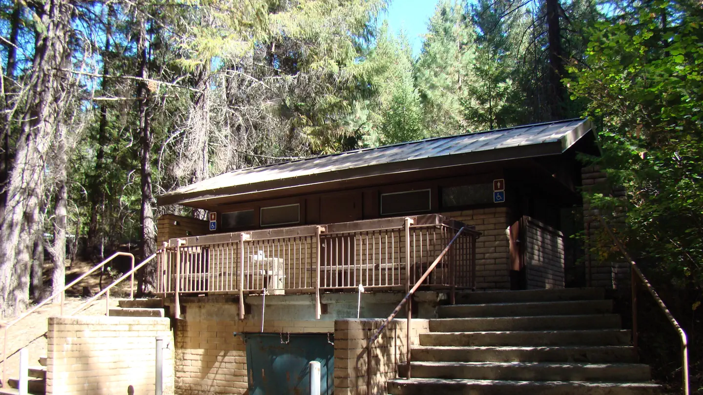 Alpine View CampgroundFederal campground · Reservable · Cell signal
Alpine View Campground is located in the Trinity Unit of the Whiskeytown-Shasta-Trinity National Recreation Area at an elevation of 2,400 feet. This facility is a great choice for children…
View camp →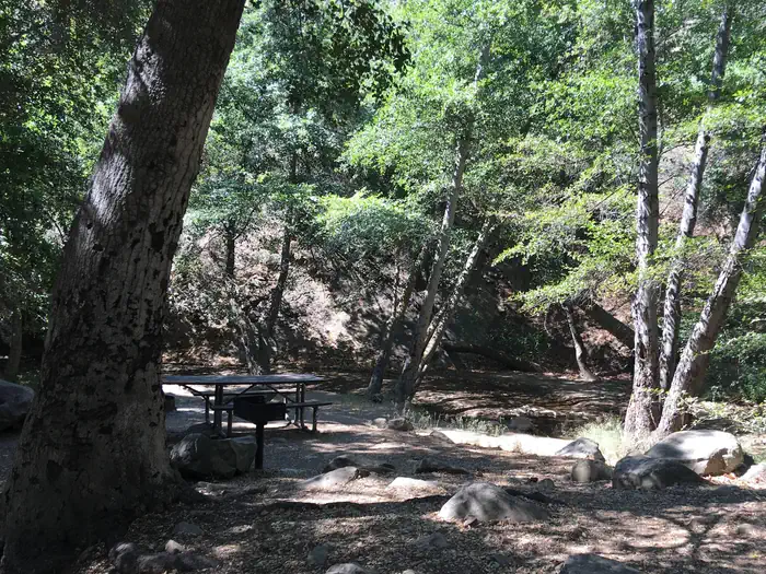 Wheeler GorgeFederal campground · Reservable · No cell signal · Hiking trail 0.5 mi
Wheeler Gorge Campground is a great place for families to explore the Los Padres National Forest all year long. Informative tours of the area are led by forest rangers at the nearby visitor…
View camp →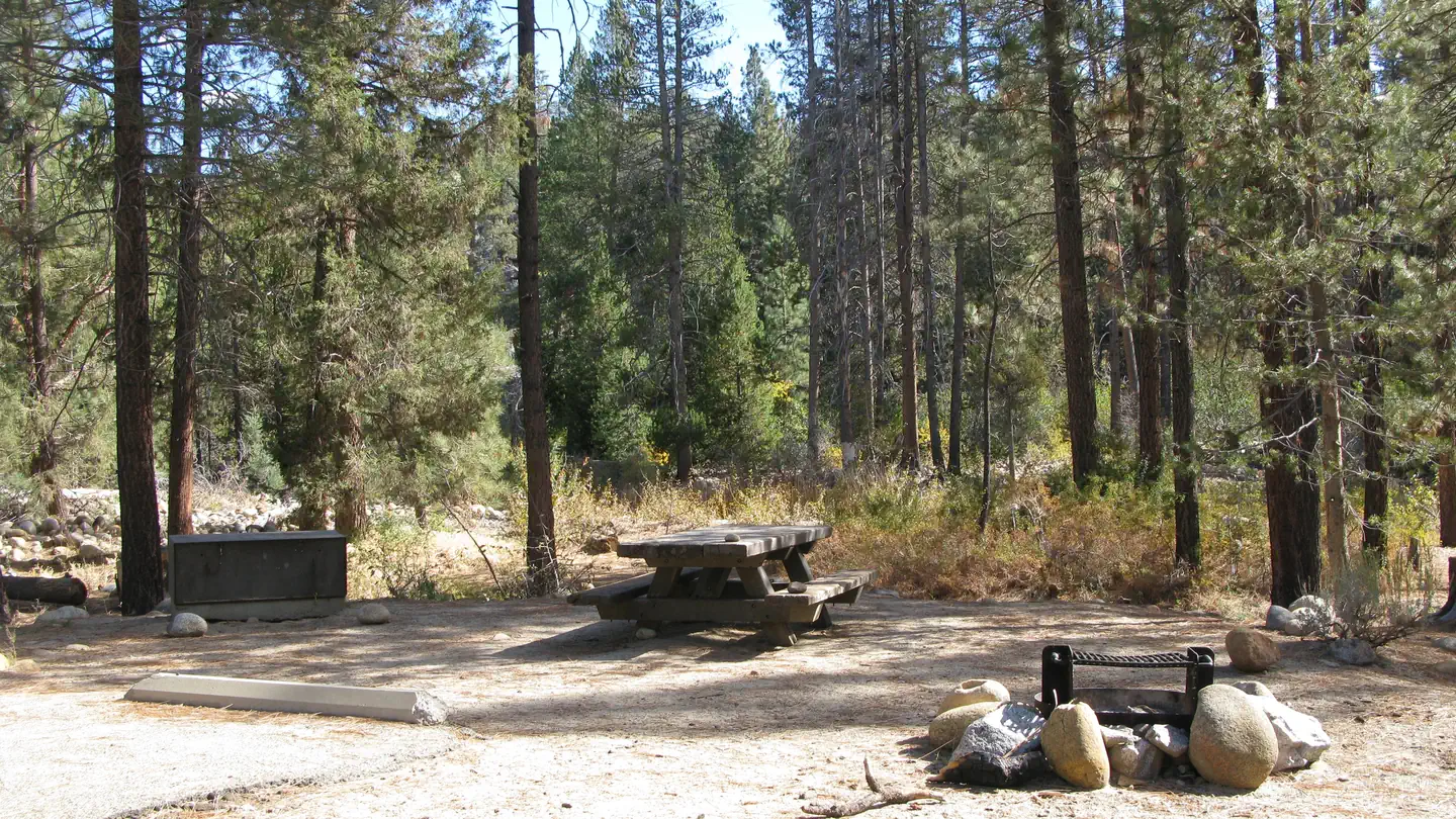 Mono Hot SpringsFederal campground · Reservable · Cell signal · Hiking trail 0.2 mi
Mono Hot Springs Campground sits above Kaiser Pass in the High Sierra, on the South Fork of the San Joaquin River in an area known for its hot mineral baths. The camp is divided into two…
View camp → Barton FlatsFederal campground · Reservable · Cell signal
The Barton Flats Campground provides a taste of just about everything the San Bernardino National Forest has to offer. In addition to a nearby lake and river access, a variety hiking…
View camp → WishonFederal campground · Reservable · Cell signal · Hiking trail 1.6 mi
Wishon Campground straddles two forks of the Tule River in the Sequoia National Forest, sitting at an elevation of 4,000 feet. A creek runs through the site into the Tule River, which…
View camp →
Free camps for hiking
- Kcl CampgroundFederal campground · Free · Cell signal
Camping is available on a first come-first serve basis--we do not take reservations. The campground has 12 campsites, 3 with elevated tent pads. There is an accessible vault toilet, along…
View camp → - Ash Creek CampgroundFederal campground · Free · Cell signal
The low elevation for the Ash Creek Campground allows it to open earlier in the season than others at higher elevations. Fishing is always good at Ash Creek as it is stocked by the…
View camp → - Castle Lake CampgroundFederal campground · Free · Cell signal · Hiking trail 0.4 mi
Description: This small primitive campground is nestled in a thick mixed conifer forest approximately ¼ mile below Castle Lake. There are 6 sites with tables, fire rings and vault toilets.…
View camp → - Hunter CreekFederal campground · Free · Cell signal · Hiking trail 0.5 mi
The Hunter Creek area east of Tuolumne City on the south end of the Mi Wok Ranger District offers 100 miles of roads open to OHV use. Future site specific analysis may result in trail…
View camp →