
Camping › Tennessee
Camping in Tennessee
648 places to camp in Tennessee: 104 national forest and federal campgrounds, 3 state park campgrounds, 130 free dispersed and primitive spots, 411 private campgrounds and RV parks. The best camping months are Apr–Jun & Sep–Oct, judged from 30 years of weather at a typical camp: comfortable days, mild nights, little rain. In June expect highs near 84°F and lows near 62°F.
Best areas to camp
- Around Sevierville128 camps in the area within 25 miles
- Around Crossville65 camps in the area within 25 miles
- Around Maryville63 camps in the area within 25 miles
- Around Chattanooga55 camps in the area within 25 miles
- Around Oneida51 camps in the area within 25 miles
Questions
When is the best time to camp in Tennessee?
The best camping months are Apr–Jun & Sep–Oct, judged from 30 years of weather at a typical camp: comfortable days, mild nights, little rain. In June expect highs near 84°F and lows near 62°F.
Is there free camping in Tennessee?
Yes: 139 free or dispersed spots, mostly on national forest and BLM land.
Will I have cell signal camping in Tennessee?
At about 91% of camps, at least one carrier has 4G or better (FCC coverage maps, which tend to be generous). Plan for no signal on trails.
Filter by camp type, amenities and activities, fly over any camp in 3D, then plan your trip.
Open Tennessee in Find campsThis week's picks
A different handful each week. Tap a camp to see it from above, check the weather and plan the drive.
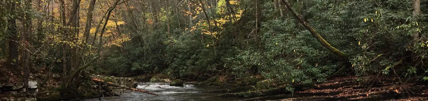 Backbone Rock CampgroundFederal campground · Reservable · No cell signal
Backbone Rock Campground is closed for the season. Backbone Rock Pavilion is open to reservations until the first Monday in November, and the vault toilet in the day-use area is open until…
View camp →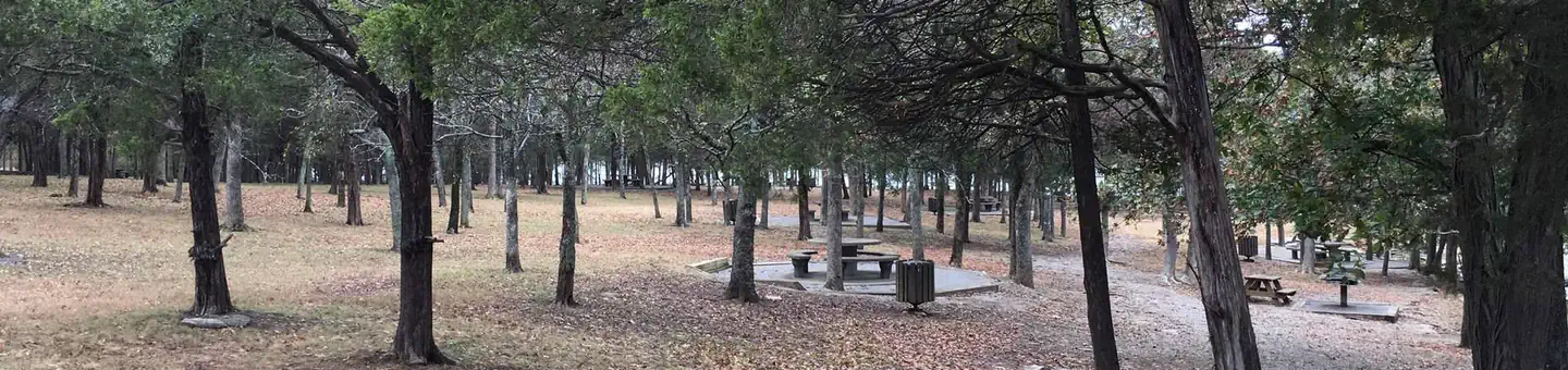 Smith SpringsFederal campground · Reservable · Cell signal
Smith Springs Recreation Area is a lakeside oasis in the hills of middle Tennessee, providing visitors with countless recreational activities on the lake and in the surrounding woods and…
View camp →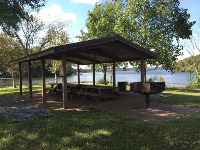 Lone BranchFederal campground · Reservable · Cell signal
Lone Branch offers all the amenities visitors need for a peaceful Tennessee getaway. Plenty of trees to provide shade, grassy open areas to run around, grills for barbequing and a boat ramp.
View camp →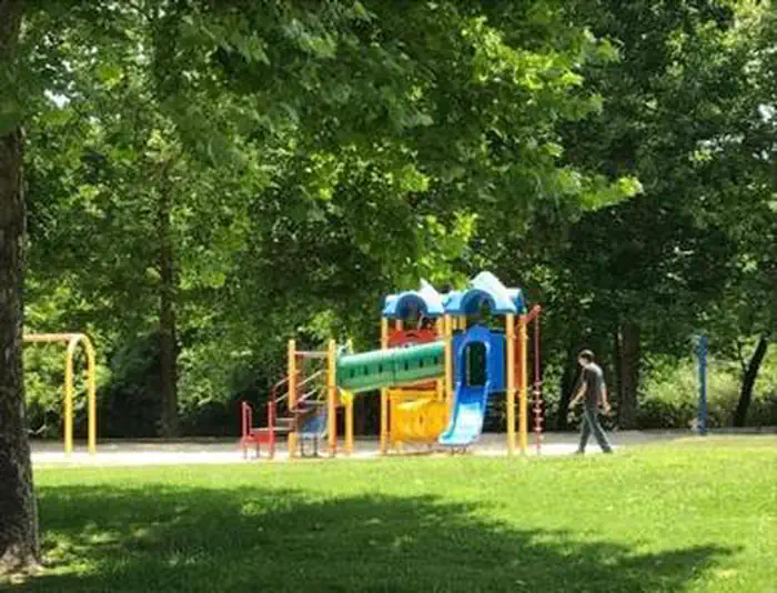 Roaring River ParkFederal campground · Reservable · Cell signal
Roaring River Park is located on Cordell Hull Lake on the Cumberland River System, near Gainesboro, TN. The lake itself was named after one of America's outstanding statesmen and one of…
View camp →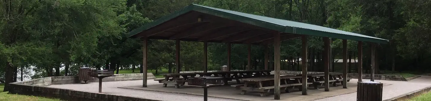 Jefferson SpringsFederal campground · Reservable · Cell signal
Jefferson Springs Recreation Area is a lakeside oasis in the hills of middle Tennessee, providing visitors with countless recreational activities on the lake and the surrounding woods and…
View camp →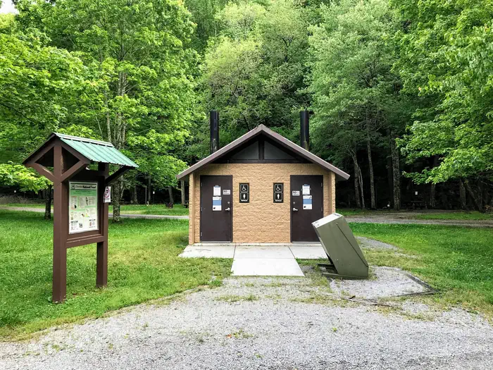 Thunder Rock CampgroundFederal campground · Reservable · Cell signal
Thunder Rock Campground is located 1.8 miles northwest of the Ocoee Whitewater Center, just behind TVA Ocoee Powerhouse Number 3. Nestled alongside the Ocoee River, this facility provides…
View camp →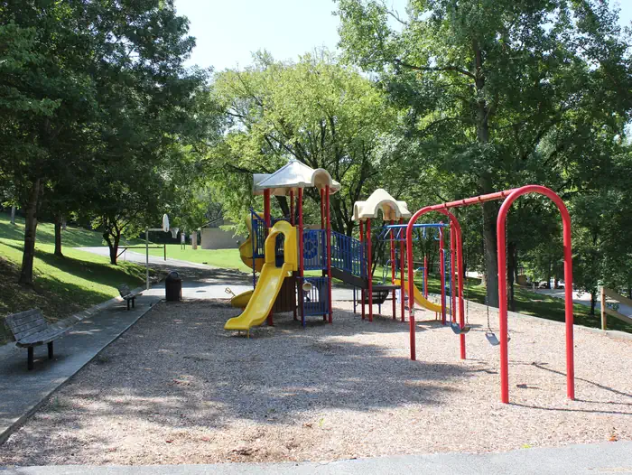 Ragland BottomFederal campground · Reservable · Cell signal
Ragland Bottom Campground is located on the shores of the scenic Center Hill Lake on central Tennessee's Highland Rim.
View camp → Dennis Cove CampgroundFederal campground · Reservable · No cell signal
Dennis Cove Campground is a secluded campground along Laurel Fork Creek at an elevation of 2,650 feet in Carter County. This remote developed campground is popular with those seeking a…
View camp →
Free camping in Tennessee
139 spots cost nothing: dispersed sites on national forest and BLM land and free campgrounds. Most have no water or toilets, and stays are usually limited to 14 days.