
Camping › Arkansas
Camping in Arkansas
363 places to camp in Arkansas: 140 national forest and federal campgrounds, 7 state park campgrounds, 66 free dispersed and primitive spots, 150 private campgrounds and RV parks. The best camping months are Apr–May & Sep–Oct, judged from 30 years of weather at a typical camp: comfortable days, mild nights, little rain. In September expect highs near 84°F and lows near 61°F.
Best areas to camp
- Around Kirby62 camps in the area within 25 miles
- Around Cedarville40 camps in the area within 25 miles
- Around Russellville35 camps in the area within 25 miles
- Around Springdale29 camps in the area within 25 miles
- Around Hot Springs Village27 camps in the area within 25 miles
Questions
When is the best time to camp in Arkansas?
The best camping months are Apr–May & Sep–Oct, judged from 30 years of weather at a typical camp: comfortable days, mild nights, little rain. In September expect highs near 84°F and lows near 61°F.
Is there free camping in Arkansas?
Yes: 74 free or dispersed spots, mostly on national forest and BLM land.
Will I have cell signal camping in Arkansas?
At about 94% of camps, at least one carrier has 4G or better (FCC coverage maps, which tend to be generous). Plan for no signal on trails.
Where are the darkest skies for camping in Arkansas?
57 camps sit under the darkest skies (class 1–2). See the stargazing page.
Filter by camp type, amenities and activities, fly over any camp in 3D, then plan your trip.
Open Arkansas in Find campsThis week's picks
A different handful each week. Tap a camp to see it from above, check the weather and plan the drive.
 Cranfield ParkFederal campground · Reservable · Cell signal
Cranfield Park is surrounded by the clear waters of Norfork Lake. It's the closest campground to the city of Mountain Home and offers plenty of pleasing views of the lake from its…
View camp →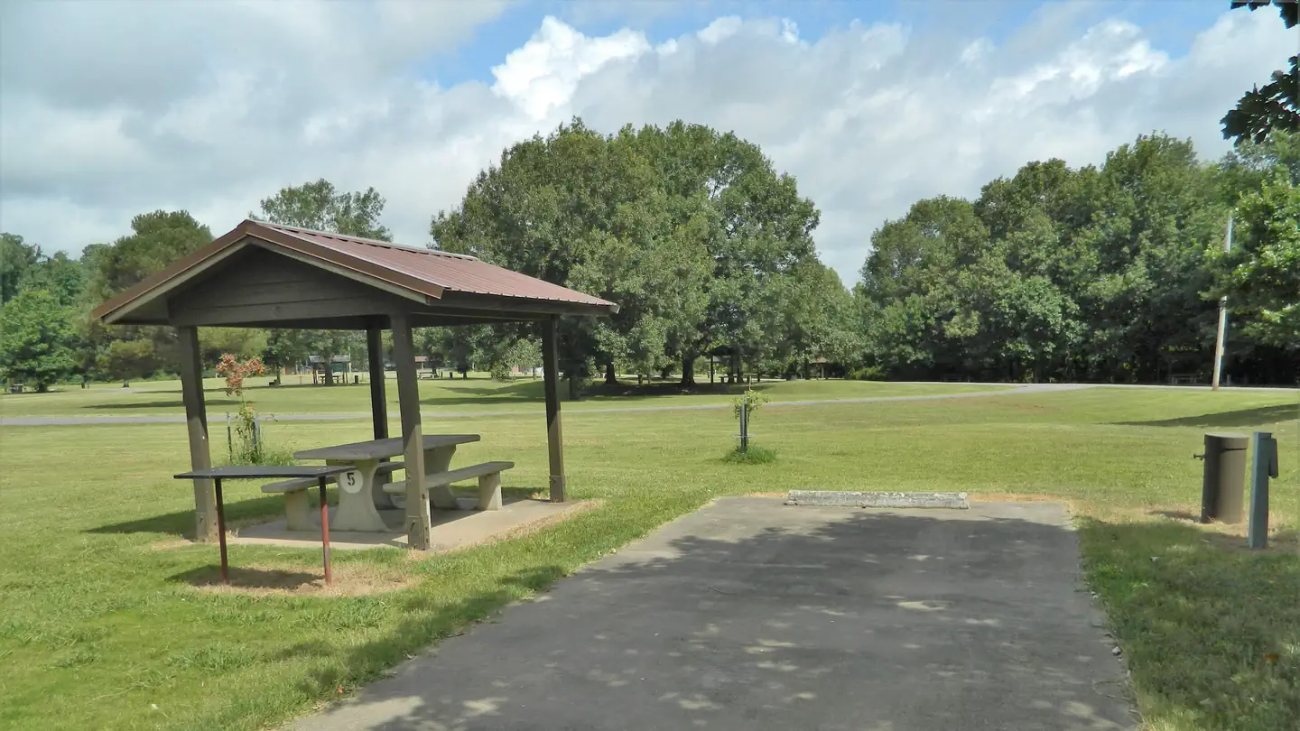 Wilbur D. MillsFederal campground · Reservable · Cell signal
Wilbur D. Mills Campground is a small, quiet campground offering 21 campsites. The park is located just downstream of the Wilbur D. Mills Dam on the right descending bank of the Arkansas…
View camp →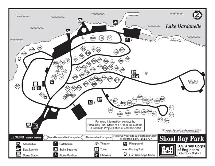 Shoal BayFederal campground · Reservable · Cell signal
Download a Shoal Bay park map [HERE](https://cdn.recreation.gov/public/2021/07/14/18/10/232704_fb23c8e1-ef27-40ba-85dd-44bc7085511a.pdf)
View camp →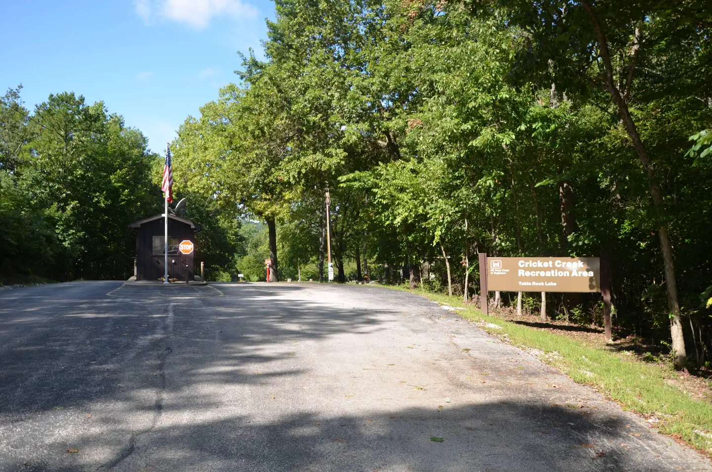 Cricket CreekFederal campground · Reservable · Cell signal
Cricket Creek is a spacious and sunny campground located along the Long Creek Arm of Table Rock Lake in the Arkansas countryside. With panoramic views of the lake and the rocky bluffs…
View camp →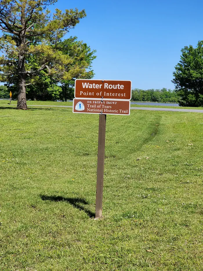 Willow BeachFederal campground · Reservable · Cell signal
Willow Beach Campground is located near the David D.Terry Lock and Dam of the Arkansas River.
View camp → Dam Site Lake CampgroundFederal campground · Reservable · Cell signal
Dam Site Lake Campground sits along the vast shores of Beaver Lake in the Ozark Mountains of Northwest Arkansas, offering spacious and sunny campsites and an abundance of recreational…
View camp →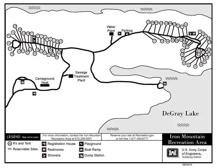 Iron MountainFederal campground · Reservable · Cell signal
Iron Mountain Campground sits on the southern banks of DeGray Lake in the foothills of the Quachita Mountains.
View camp →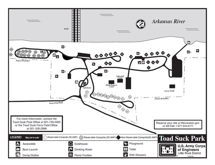 Toad SuckFederal campground · Reservable · Cell signal
[Toad Suck Park Map](https://drive.google.com/file/d/1OonaU2hOQRsG0QV742zzzYfGY7ZnqWEB/view?usp=sharing) [Customer Comment…
View camp →
Free camping in Arkansas
74 spots cost nothing: dispersed sites on national forest and BLM land and free campgrounds. Most have no water or toilets, and stays are usually limited to 14 days.
- Wolf Pen GapFederal campground · Free · Cell signal
Featuring high mountain vistas, the trail leads the rider through an array of areas, including scenic Gap Creek and Board Camp Creek. The trail continues through a forest of large pines and…
View camp → - West Fork Point Remove Creek Site Eight ReservoirDispersed / primitive · Free · 577 ft · Cell signalView camp →
- Dispersed site #1 · 6 mi S of Lost Bridge VillageDispersed / primitive · Free · Cell signal
Reservation required. No dispersed camping is allowed in the area; camping allowed only in designated sites. (last verified 2022-02).
View camp →