
Camping › North Carolina › Hiking
Camping near hiking trails in North Carolina
174 camps in North Carolina within a mile of a hiking trail, or listing hiking. The best camping months are Apr–Oct, judged from 30 years of weather at a typical camp: comfortable days, mild nights, little rain. In July expect highs near 81°F and lows near 61°F.
Trails with the most camps nearby
| Trail | Length | Camps nearby | Closest camp |
|---|---|---|---|
| Art Loeb Nrt | 29.6 mi | 19 | Butter Gap Shelter · 0.0 mi |
| Anst - Appalachian Rd | 159.7 mi | 15 | Campsite · 10 mi N of Mars Hill · 0.0 mi |
| Mst - Pisgah Rd | 45.0 mi | 11 | Dispersed spot · 11 mi W of Brevard · 0.1 mi |
| Uwharrie Nrt | 29.0 mi | 10 | Campsite · 6 mi W of Troy · 0.0 mi |
| Long Branch | 2.6 mi | 10 | Standing Indian Campground · 0.2 mi |
| Little Sam | 1.3 mi | 9 | Campsite · 10 mi NW of Brevard · 0.0 mi |
| Black Mountain Crest | 11.1 mi | 8 | Deep Gap Backcountry Campsite · 0.0 mi |
| Stratton Bald | 7.5 mi | 8 | Rattler Ford Campground · 0.2 mi |
| Greasy Cove | 3.2 mi | 8 | Dispersed spot · 10 mi NW of Brevard · 0.3 mi |
| Sam Knob | 1.0 mi | 8 | Campsite · 11 mi NW of Brevard · 0.0 mi |
Best areas for hiking
- Around Mills River55 camps for hiking within 25 miles
- Around Franklin37 camps for hiking within 25 miles
- Around Marion35 camps for hiking within 25 miles
- Around Albemarle23 camps for hiking within 25 miles
- Around Havelock4 camps for hiking within 25 miles
Questions
How many campgrounds in North Carolina are good for hiking?
174 camps within a mile of a hiking trail, or listing hiking; 58 of them are free.
When is the best time to go?
The best camping months are Apr–Oct, judged from 30 years of weather at a typical camp: comfortable days, mild nights, little rain. In July expect highs near 81°F and lows near 61°F.
What else can you do there?
Of these camps, 21% also offer fishing, 13% also offer boating & paddling, 13% also offer biking.
Every camp, with a 3D fly-over, weather, cell signal and the drive.
Open hiking in North CarolinaThis week's picks
A different handful each week.
- Nantahala National ForestFederal campground · First come, first served · No cell signal · Hiking trail 0.4 mi
Welcome to the Nantahala National Forest! The Nantahala National Forest lies in the mountain and valleys of southwestern North Carolina. The largest of North Carolina's four National…
View camp → 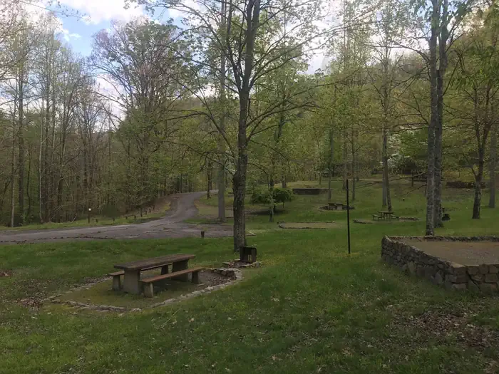 Rocky Bluff CampgroundFederal campground · Reservable · Cell signal · Hiking trail at camp
Rocky Bluff Campground offers solitude in a wooded setting located just 3 miles south of the quaint town of Hot Springs and the majestic French Broad River. The campground is conviently…
View camp →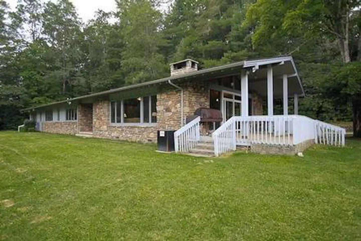 Balsam Lake LodgeFederal campground · Reservable · Cell signal · Hiking trail 2.8 mi
Balsam Lake Lodge is nestled in the center of the 39,000-acre Roy Taylor Forest within the Nantahala National Forest. The lodge overlooks Balsam Lake and offers spectacular mountain views.
View camp →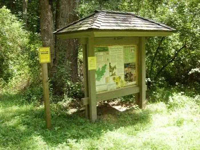 Wash Creek Horse CampFederal campground · Reservable · Cell signal · Hiking trail 0.1 mi
Wash Creek Horse Camp is a small group area designed for equestrian use located two miles northeast of the North Mills River Recreation Area and Bent Creek of the Pisgah Ranger District.
View camp →- North Mills River CampgroundFederal campground · First come, first served · Cell signal · Hiking trail 0.4 mi
Located just outside of Asheville, NC in the Pisgah National Forest, North Mills River is a shady, secluded campground. Scenic North Mills River runs through the campground, offering…
View camp →  Fish Dam Creek ParkFederal campground · Reservable · Cell signal
Fish Dam Creek Shelter is located directly adjacent to W Kerr Scott's Dam. This shelter features horseshoe pits, and has a panoramic view of the reservoir.
View camp →- Grandfather Ranger DistrictFederal campground · First come, first served · Cell signal
The lands that make up the Grandfather Ranger District are those public lands that run from the McDowell/Buncombe county line on Black Mountain just east of Asheville over to US 321 between…
View camp → - Sunburst CampgroundFederal campground · First come, first served · No cell signal · Hiking trail 0.2 mi
Located in Pisgah National Forest on NC 215, Sunburst Campground was once a logging camp. Now nine primitive campsites offer quiet camping near the West Fork, Pigeon Rivers. Sites have…
View camp →
Free camps for hiking
- Round Mountain CampsiteDispersed / primitive · Free · Cell signal · Hiking trail 0.2 mi
This campsite is signposted by name on the Foothills Trail and listed in the offical guidbook.
View camp → - Dispersed spot · 10 mi NW of BrevardDispersed / primitive · Free · Cell signal · Hiking trail at camp
First campsite on the Old Butt Trail. The extreme elevation climb ends here, trail is a lot less strenuous for the rest of the trail.
View camp → - Badin Horse Camp or Old Horse CampFederal campground · Free · Cell signal · Hiking trail at camp
This is a primitive camping area where people camp in self contained RV/Horse Trailers. It is located in an open field with tie outs for the horses. No amenities available.
View camp →