
Camping › New Mexico › Hiking
Camping near hiking trails in New Mexico
182 camps in New Mexico within a mile of a hiking trail, or listing hiking. The best camping months are May–Sep, judged from 30 years of weather at a typical camp: comfortable days, mild nights, little rain. In July expect highs near 78°F and lows near 50°F.
Trails with the most camps nearby
| Trail | Length | Camps nearby | Closest camp |
|---|---|---|---|
| Pecos River | 1.5 mi | 7 | Panchuela Campground · 0.0 mi |
| Saddle Nature | 0.6 mi | 6 | Campsite #15 · 1 mi N of Cloudcroft · 0.0 mi |
| La Pasada Encantada | 0.3 mi | 5 | Black Bear Group Campground · 0.1 mi |
| Valle | 3.0 mi | 4 | Ponderosa Reservation Group Campground · 1.3 mi |
| Red River Nature | 1.8 mi | 4 | Campsite · 2 mi SE of Red River · 0.1 mi |
| East Fork | 9.2 mi | 3 | Jemez Falls Campground · 0.0 mi |
| Perimeter | 7.8 mi | 3 | Ponderosa Reservation Group Campground · 0.5 mi |
| Glorieta Baldy | 5.3 mi | 3 | Glorieta · 0.1 mi |
| Ghost Town | 3.9 mi | 3 | Campsite · 1 mi N of Glorieta · 0.0 mi |
| Tesuque Creek | 3.5 mi | 3 | Big Tesuque Campground · 0.0 mi |
Best areas for hiking
- Around Angel Fire36 camps for hiking within 25 miles
- Around Nambe34 camps for hiking within 25 miles
- Around Gila Hot Springs29 camps for hiking within 25 miles
- Around Cañon18 camps for hiking within 25 miles
- Around Alamogordo16 camps for hiking within 25 miles
Questions
How many campgrounds in New Mexico are good for hiking?
182 camps within a mile of a hiking trail, or listing hiking; 49 of them are free.
When is the best time to go?
The best camping months are May–Sep, judged from 30 years of weather at a typical camp: comfortable days, mild nights, little rain. In July expect highs near 78°F and lows near 50°F.
What else can you do there?
Of these camps, 23% also offer fishing, 17% also offer horseback riding, 10% also offer biking.
Every camp, with a 3D fly-over, weather, cell signal and the drive.
Open hiking in New MexicoThis week's picks
A different handful each week.
- Big Tesuque CampgroundFederal campground · First come, first served · Cell signal · Hiking trail at camp
Big Tesuque is a travel-in campground not conducive to trailer or RV camping. There are 10 units, picnic tables and grills, and vaulted toilets in the parking lot. There is no potable water…
View camp → 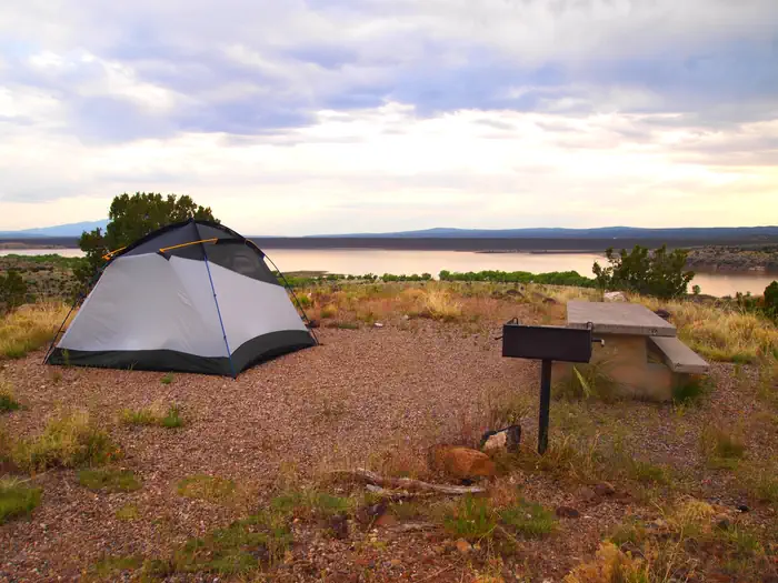 Tetilla PeakFederal campground · Reservable · Cell signal
Tetilla Peak Recreation Area is located in Sandoval County, New Mexico, within the boundaries of the Pueblo de Cochiti Indian Reservation.
View camp →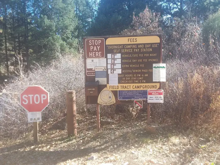 Field Tract CampgroundFederal campground · Reservable · Cell signal
Please note that Field Tract Campground is currently closed until further notice due to necessary repairs on the shelters. We appreciate your understanding and patience as we work to…
View camp →- Resumidero Camping AreaFederal campground · Free · Cell signal · Hiking trail 0.2 mi
Resumidero is a popular primitive camping area. Located in a large alpine meadow, Resumidero is a local favorite and used by numerous recreationists for camping, picnicking, and group…
View camp → 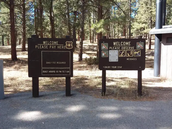 Rio De Las Vacas CampgroundFederal campground · Reservable · Cell signal
Less than two hours from the city of Albuquerque, Rio de las Vacas Campground offers a cool oasis from the New Mexico heat. Visitors delight in the hiking and fishing opportunities…
View camp →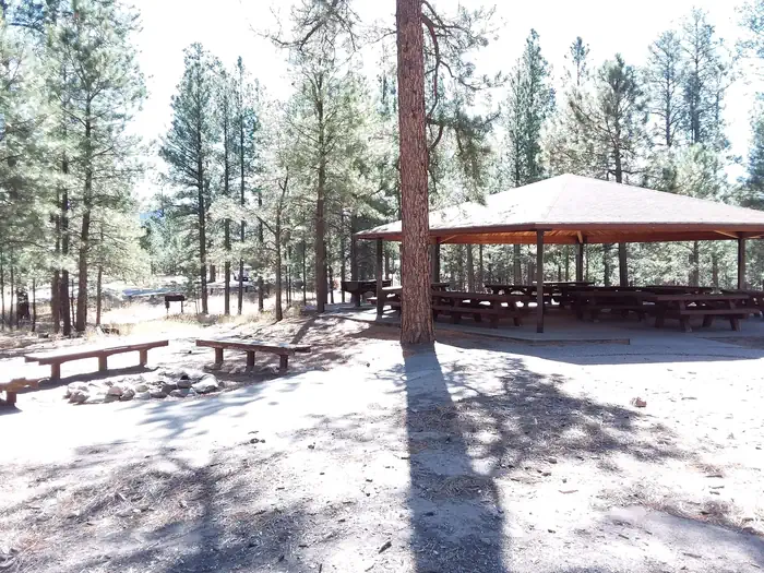 Jemez Falls CampgroundFederal campground · Reservable · Cell signal · Hiking trail at camp
Jemez Falls Campground is located in a stunning Ponderosa Pine and forest meadow environment. The campground elevation is 7,880 feet above sea level. Come prepared for warm days and cool…
View camp →- Redondo CampgroundFederal campground · First come, first served · Cell signal · Hiking trail 0.8 mi
The Redondo Campground is situated in a stand of Ponderosa Pine interspersed with grass and wildflower meadows within the Jemez National Recreation Area. The campground is approximately…
View camp → - Sacramento RdFederal campground · First come, first served · Cell signal · Hiking trail 2.1 mi
The Sacramento Ranger District offers many different recreation opportunities for all seasons.
View camp →
Free camps for hiking
- Comales CampgroundDispersed / primitive · Free · Cell signal · Hiking trail 0.2 mi
Close to paved road and Rio Pueblo fishing; these sites are at head of Comales Canyon Trail.
View camp → - El Rito CampgroundDispersed / primitive · Free · Cell signal
Located near the town of El Rito, this area is often crowded in summer due to its popularity. The campground is situated along the bank of the El Rito Creek. 11 campsites at 7600 feet with…
View camp → - Cuchillo Del Medio CampgroundDispersed / primitive · Free · No cell signal · Hiking trail 1.0 mi
Cuchillo Del Medio Campground. USDA Forest Service Photo.
View camp → - Twining CampgroundDispersed / primitive · Free · Cell signal · Hiking trail at camp
Twining Campground in the fall. USDA Forest Service photo by Zach Behrens.
View camp →