
Camping › New Hampshire › Hiking
Camping near hiking trails in New Hampshire
97 camps in New Hampshire within a mile of a hiking trail, or listing hiking. The best camping months are Jun–Sep, judged from 30 years of weather at a typical camp: comfortable days, mild nights, little rain. In July expect highs near 77°F and lows near 53°F.
Trails with the most camps nearby
| Trail | Length | Camps nearby | Closest camp |
|---|---|---|---|
| Garfield Trail | 4.7 mi | 9 | Campsite · 5 mi SE of Bethlehem · 0.1 mi |
| Franconia Brook | 7.4 mi | 8 | Thirteen Falls Tentsite · 0.0 mi |
| Garfield Ridge | 5.7 mi | 8 | Garfield Ridge Shelter · 0.1 mi |
| Gale River | 3.8 mi | 8 | Campsite · 5 mi SE of Bethlehem · 0.0 mi |
| Davis Path | 13.7 mi | 6 | Crawford Notch Campground · 0.7 mi |
| Kinsman Ridge | 12.9 mi | 6 | Eliza Brook Shelter · 0.0 mi |
| Middle Sister Trail | 3.7 mi | 6 | Camp Penacook Shelter · 0.3 mi |
| Sawyer Pond Trail | 5.8 mi | 5 | Sawyer Pond Shelter & Tentsite · 0.0 mi |
| Peabody Brook | 0.4 mi | 5 | Timberland Campground · 0.8 mi |
| Wild River Trail | 9.5 mi | 4 | Spruce Brook Tentsite · 0.0 mi |
Best areas for hiking
- Around Conway82 camps for hiking within 25 miles
- Around Plymouth15 camps for hiking within 25 miles
- Around Keene3 camps for hiking within 25 miles
Questions
How many campgrounds in New Hampshire are good for hiking?
97 camps within a mile of a hiking trail, or listing hiking; 48 of them are free.
When is the best time to go?
The best camping months are Jun–Sep, judged from 30 years of weather at a typical camp: comfortable days, mild nights, little rain. In July expect highs near 77°F and lows near 53°F.
What else can you do there?
Of these camps, 21% also offer fishing, 20% also offer wildlife & birding, 19% also offer winter sports.
Every camp, with a 3D fly-over, weather, cell signal and the drive.
Open hiking in New HampshireThis week's picks
A different handful each week.
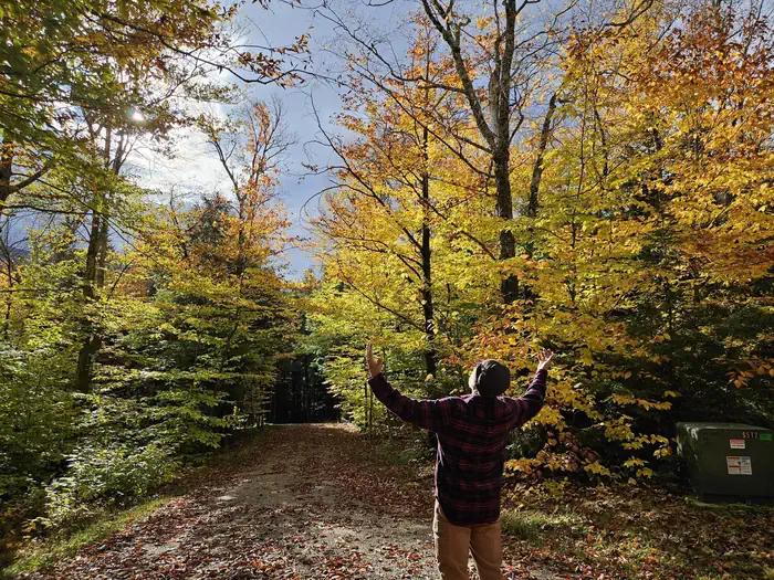 Barnes Field CampgroundFederal campground · Reservable · Cell signal · Hiking trail 0.9 mi
Located 6 miles south of Gorham, New Hampshire, at the base of New England's tallest peak, the historic Barnes Field Campground provides a scenic and private space for organizations…
View camp →- Camp Penacook ShelterDispersed / primitive · Free · Cell signal · Hiking trail at camp
Camp Penacook is a 3-sided shelter located on the southeast side of Mt. Chocorua, approximately 1.5 miles from the summit, off the Piper Trail. There is a small earthen tent pad located…
View camp → - Passaconaway CampgroundFederal campground · First come, first served · No cell signal · Hiking trail 0.1 mi
This heavily wooded campground has 33 sites with the Swift River a short distance away. Across the highway from the campground is the trailhead for the UNH Trail to Mt. Hedghog, the Downes…
View camp →  Radeke CabinFederal campground · Reservable · No cell signal · Hiking trail 0.2 mi
Radeke Cabin once served as a summer camp for School of Forestry students at the University of New Hampshire until the mid 1960s. It was purchased by the Forest Service in 1969.
View camp → Doublehead CabinFederal campground · Reservable · Cell signal · Hiking trail at camp
Doublehead Backcountry Cabin is accessible only by hiking, snowshoeing or skiing the 1.8-mile Doublehead Ski Trail. Guests should be prepared to transport all their gear and supplies on…
View camp →- Rattle River ShelterFederal campground · First come, first served · Cell signal · Hiking trail at camp
Rattle River Shelter is reached by hiking 1.7 miles up the gradual grade of the Rattle River Trail. In addition to the shelter, 3 designated tent sites provide for overflow camping.
View camp → 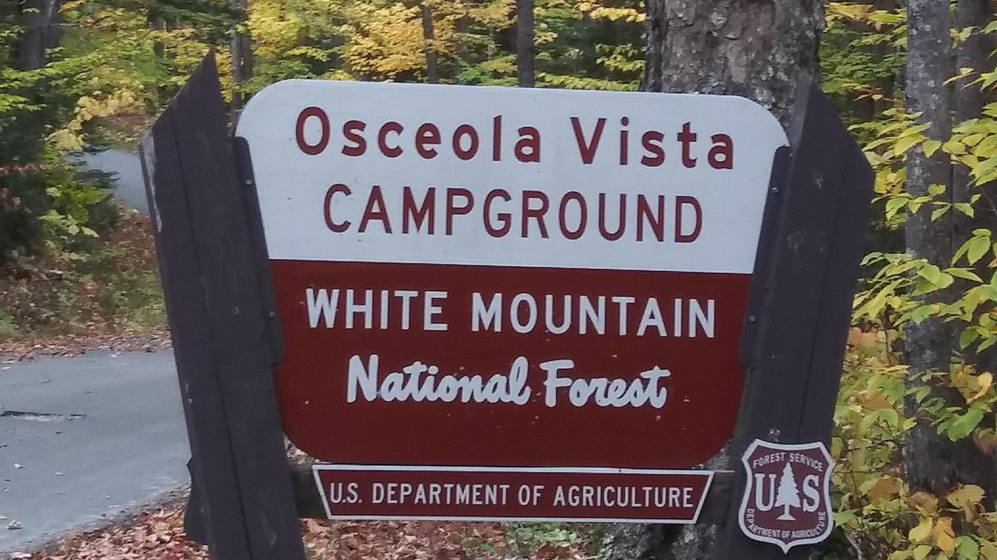 Osceola Vista CampgroundFederal campground · Reservable · Cell signal · Hiking trail 0.4 mi
Osceola Vista is a popular spot for group camping and is located near a host of outdoor activities, including hiking, mountain biking, canoeing and golfing.
View camp → Black Mountain CabinFederal campground · Reservable · Cell signal · Hiking trail 1.6 mi
Black Mountain Backcountry Cabin was built in the 1930s by the Civilian Conservation Corps and sits on what was once pasture land. The cabin was renovated in 1992, though its original…
View camp →
Free camps for hiking
- Velvet Rocks ShelterDispersed / primitive · Free · Cell signal · Hiking trail 0.1 mi
The Velvet Rocks Shelter is located on the Velvet Rocks Trail 1.2 miles from the official western terminus of the trail near NH Rte 120 and Chase Field House in Hanover. A privy is located…
View camp → - Beaver Brook ShelterDispersed / primitive · Free · Cell signal · Hiking trail at camp
The Beaver Brook Shelter sits at 3750 ft on the northern flank of Asquam Ridge which extends east from Mount Moosilauke. The shelter is 1.5 miles from NH Rte 112 in Kinsman Notch just off…
View camp → - Garfield Ridge ShelterDispersed / primitive · Free · Cell signal · Hiking trail 0.1 mi
The Garfield Ridge Shelter is located at approximately 3,900 ft. on the eastern shoulder of Mt. Garfield just off the Garfield Ridge Trail (Appalachain Trail). The shelter is a 12-person…
View camp → - Jeffers Brook ShelterDispersed / primitive · Free · Cell signal · Hiking trail 0.1 mi
Jeffers Brook Shelter is an 'Adirondack' style shelter that is located just off Town Line Trail (Appalachain Trail) via a side trail 1.1 miles north of NH RT 25 in the village of…
View camp →